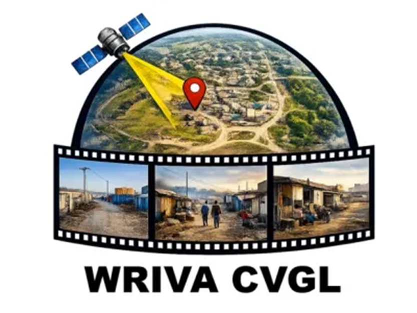
Take part in the 2026 WRIVA Cross-View Geo-Localization (CVGL) Challenge. This competition intends to advance innovation and reproducibility in the field of local-context ground-to-satellite image localization. After receiving sets of one or more satellite images and one or more ground-level images with rough locations, participants will be tasked to locate the camera position. Competitors will be evaluated on predicted camera geolocation accuracy in meters.
Winning teams will be recognized during a community contributed topic session at IGARSS 2026 in Washington DC and may be invited to contribute to an article on the competition to be published in a special issue of Photogrammetric Engineering & Remote Sensing (PE&RS).
Contestants can register below and receive developmental data and baseline code.